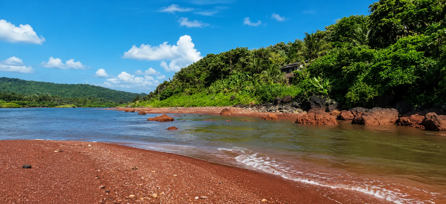
TREE Green Solutions conducts environmental baseline and morphological studies to assess the condition of natural ecosystems and support their restoration and long-term conservation. Our studies provide the scientific foundation for environmental rehabilitation, risk assessment, and ecosystem management — helping industries, government bodies, and infrastructure projects understand and address their environmental impact on land, rivers, and coastal systems.
A baseline study is a systematic assessment of the existing environmental conditions of a site before, during, or after an activity that has caused or may cause environmental change. It establishes a reference point — the baseline — against which future environmental changes can be measured and monitored.

Soil composition and quality
Water bodies — rivers, lakes, coastal zones
Land use and land cover
Flora and fauna
Air and water quality parameters
Sediment characteristics
This data forms the scientific evidence base for all subsequent restoration, rehabilitation, and risk management decisions
Morphological studies examine the physical form, structure, and behaviour of natural systems — particularly rivers, coastlines, and land surfaces. They assess how these systems have changed over time due to natural processes or human activity, and predict how they will continue to change.
Channel geometry — width, depth, cross-section profile
Bed and bank material composition
Sediment transport and deposition patterns
Flow dynamics and hydraulic behaviour
Erosion and accretion patterns along the banks and bed
Shoreline changes and coastal erosion
Sediment movement and deposition
Wave and tidal influence on coastal landforms
Impact of structures or activities on coastal morphology

Morphological and baseline data guides the design of river restoration measures — re-establishing natural channel forms, stabilising eroded banks, improving flow regimes, and restoring riparian vegetation.
Following industrial accidents, natural disasters, or long-term anthropogenic impacts, baseline studies identify the extent of damage and provide the data needed to design and implement rehabilitation programmes.
By understanding the current state and trajectory of an ecosystem, strategies can be developed to strengthen its resilience against future disturbances and ensure its long-term sustainability.
Baseline data is used to evaluate environmental risk — identifying vulnerable ecosystems, predicting the consequences of planned activities, and recommending mitigation measures.
Baseline studies are required by regulatory authorities for environmental clearance, impact assessment, and post-incident reporting for industrial and infrastructure projects.

A detailed on-site investigation is conducted to collect primary environmental data. This includes:
Physical survey of the site — land, river channel, or coastal zone
Soil and sediment sampling and laboratory analysis
Water quality sampling and testing
Measurement of channel geometry and hydraulic parameters
Mapping of land use, vegetation cover, and fauna presence
Photographic and drone documentation of site conditions
Historical data, satellite imagery, topographic maps, hydrological records, and previous environmental reports are reviewed to understand how the site has changed over time and establish a long-term reference context.
Soil and sediment analysis to determine composition, contamination levels and stability
Hydrological and hydraulic analysis of river or coastal behaviour
Morphological change analysis comparing current conditions against historical data
Environmental risk evaluation based on collected data
Based on the analysis, specific restoration and rehabilitation measures are identified — addressing erosion, contamination, habitat loss, channel instability, or other environmental impacts documented at the site.
A restoration and conservation strategy is developed with prioritised interventions, implementation approach, monitoring plan, and performance indicators to track ecosystem recovery over time.
A comprehensive baseline and morphological study report is prepared covering site description, methodology, findings, risk assessment, restoration measures, and conservation recommendations. This report is suitable for regulatory submission, project planning, and stakeholder communication.
River restoration and channel stabilisation
Coastal erosion assessment and management
Post-disaster environmental rehabilitation
Industrial accident impact assessment and site remediation planning
Environmental clearance support for infrastructure projects
Long-term ecosystem monitoring programmes
Land conservation and sustainable land use planning
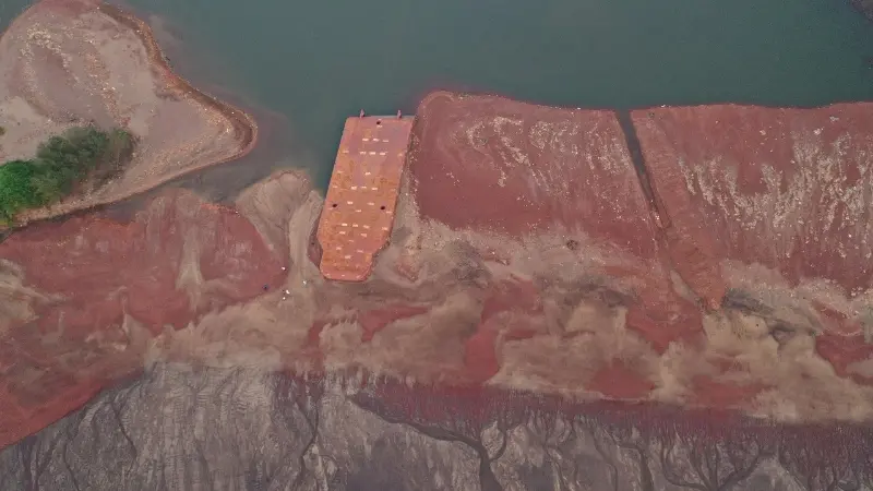
Shoreline in Maharashtra
A baseline and morphological study was conducted at Palshet Beach following a barge-related incident, involving site investigation, sediment sampling, and shoreline change documentation against historical coastal data. The assessment quantified ecosystem damage and produced restoration measures to support recovery and strengthen the site's resilience to future impacts.
Helping industries measure and report their greenhouse gas emissions for regulatory compliance and global market readiness.
Engineering design and management of water systems for industries, hotels, hospitals, and urban infrastructure.
Building design, cost estimation, and project cycle management for funded infrastructure and community projects.
Whether you need a certified carbon footprint assessment, CBAM compliance support, or a complete environmental engineering solution our team is ready to help.